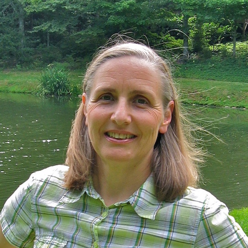
Helena Mitasova
Area(s) of Expertise
- High resolution, 3D coastal terrain mapping using lidar technology
- Analysis of coastal erosion and sand redistribution from time series of lidar-based digital elevation models
- Barrier island storm vulnerability mapping
- Sustainable land use management and design
- Geospatial analytics and visualization
- Open source geospatial software development as one of the founding laboratories in the OSGeo
- Research and Education Laboratories (OSGeo REL) worldwide network
Research Summary
The researchers and students from the NCSU OSGeo REL in collaboration with the NCSU-Kenan Natural Hazards Mapping Program developed new metrics for analysis of barrier island topographic change and are currently working on Coastal Dynamics Toolbox for open source GRASS GIS.
Publications
- Carbon estimation of old-growth bald cypress knees using mobile LiDAR , FRONTIERS IN FORESTS AND GLOBAL CHANGE (2025)
- Active Remote Sensing Assessment of Biomass Productivity and Canopy Structure of Short-Rotation Coppice American Sycamore (Platanus occidentalis L.) , Remote Sensing (2024)
- Estimating Rates of Change to Interpret Quantitative Wastewater Surveillance of Disease Trends , (2024)
- Estimating rates of change to interpret quantitative wastewater surveillance of disease trends , SCIENCE OF THE TOTAL ENVIRONMENT (2024)
- An open-source platform for geospatial participatory modeling in the cloud , ENVIRONMENTAL MODELLING & SOFTWARE (2023)
- Integrating GRASS GIS and Jupyter Notebooks to facilitate advanced geospatial modeling education , Transactions in GIS (2023)
- Performance of unoccupied aerial application systems for aquatic weed management: Two novel case studies , Weed Technology (2023)
- Point Density Variations in Airborne Lidar Point Clouds , SENSORS (2023)
- Predicting residential septic system malfunctions for targeted drone inspections , Remote Sensing Applications: Society and Environment (2023)
- Spatially interactive modeling of land change identifies location-specific adaptations most likely to lower future flood risk , SCIENTIFIC REPORTS (2023)
